A Map of Bristol in 1480
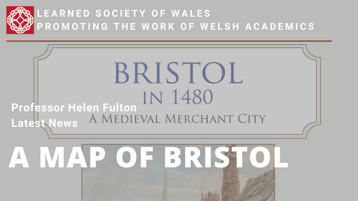
Professor Helen Fulton has worked with the Historic Towns Trust and a team of Bristol historians and archaeologists to publish A Map of Bristol in 1480: A Medieval Merchant City.
The project was supported by funding from the University of Bristol and local history societies in Bristol.
The map is a reconstruction of the city as it was described in 1480 by William Worcestre, a high ranking official who was a native of Bristol and described its streets and buildings in great detail. It is printed on a single fold-out sheet with an OS map of 1918 in the background. On the reverse is a detailed description of the churches, religious houses, castle walls, inns, taverns, and houses belonging to the most prosperous merchants in this major port town.
The project was led by Helen Fulton, with cartography by Giles Darkes (Historic Towns Trust) and an introduction by Professor Peter Fleming (University of the West of England). Research for the map was undertaken by Dr Robert H. Jones (formerly Bristol City Council), Dr Pete Insole (Bristol City Council), Professor Roger Leech (University of Southampton), and Dr Bethany Whalley (University of Bristol).
The map is £9.99 and can be ordered from bookshops using the ISBN 978-0-9934698-7-9.